top of page
Licensed | Local | Affordable
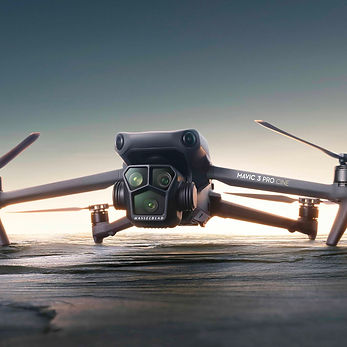
Whatever your project may be, large or small, I can provide the imaging you need at prices that fit your budget.
-
Looking for Property Images that make your properties stand out from the competition?
-
Orthophotogrammetry Mapping provides resolution up to 20X higher than Google Earth, works with existing GIS solutions, online 3D Model Generation, Digital Elevation Models and Volumetric Measuring for build sites and archeological sites.

Try it
in 3D
Try it
in 3D
Try DEM View
Zoom
In
Try Measure Tools
Orthophotogrammetry Mapping Pricing

Subject | Location Specific
New Mexico
Imaging | Travel
$100 per hour | $800 per day
Mapping prices are based on a per-acre, point value system.
Points are accumulated on: Elevation above Ground Level, Image Overlap and Number of Acres.
Quotes Provided for Each Job Prior to Image Collection


bottom of page